Mount Galiano
Thursday, September 07, 2006
We set off by ferry one Monday morning to explore Galiano Island. We took along our visiting family from Toronto - Barbara, Bernie, Jim and Bob. We had been expecting Bob’s girl friend Christie too but she didn’t come. The ferry left its normal start-of-the-week twenty minutes late and we had a comfortable ride to Sturdies Bay. On landing, we headed up over the hill and down to Whalers Bay, where Burrill Road led off on the left. In the past this was where we used to turn. However, this time we carried straight on and very quickly found an arch marked Sturdies Bay Trail straddling a path leading off to the left.
 We followed this trail, turning where a sign indicated Bluffs Park heading left. We meandered gently uphill through trees until another sign pointed to Warbler Avenue to the left. We turned onto this and continued rising through trees. It was warm and sunny and the light was streaming through the greenery, lighting up the undergrowth. At the brow of a hill we met a T-junction with red tapes. A short jog left and a curve to the right brought us out onto Warbler Avenue North.
 A quiet trip led us to Winstanley Road which we crossed, continuing on the trail opposite to Warbler Avenue South. The last portion of the trail carried For Sale signs, but I hope the Warbler Avenue right-of-way will continue to exist after any sale is made. When we reached Bluffs Road, we headed uphill and, once through the Bluffs Park gates, we found a trail on the left leading up to the Bluffs. You have to know that there is a trail to find it but we koow where to find it by now. Continuing on the edge of the Bluffs through the parking area and up to the brow of the hill brought us to the hut and our lunch spot.
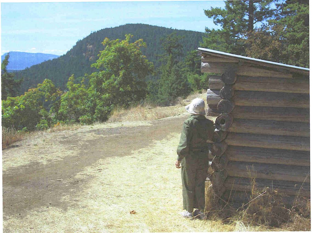
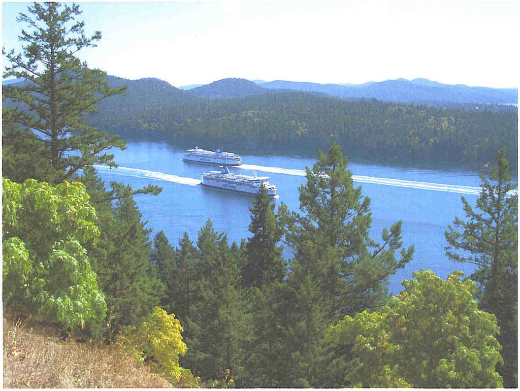
 The ferries to and from Victoria crossed below us as we enjoyed the view over Trincomali Channel and the islands below; turkey vultures circled overhead. We looked westward where Mount Galiano formed the skyline. It was then that I thought that maybe we could reach its summit with enough time to return to the ferry. Moreover, everyone in the party could probably make it, Christie being away shopping.
So off we went down Grace Trail, crossing Georgeson Bay Road at the bottom and continuing up on the far side. This route makes for a more gradual climb than the old Galiano Trail I was familiar with, and certainly compared with the even older route from the Mount Sutil side. I gave Bernie and the boys instructions for the viewpoint and let them go ahead; Barbara stayed back with us at our slower pace. However, we eventually made it and joined the advance party to admire the great southerly view.
On the way back, Bernie and Jim set briskly off to the base but we walked with Bob and Barbara, taking more time to observe the trails off to the side. I showed them the remains of the ‘60s plane crash near the summit and I noted where the trail led off to Lord Park and later Alistair Ross Trail to near the Georgeson Bay/ Bluffs Road intersection.
We went to the bottom to meet Bernie and Jim who were waiting. Bernie decided he would walk briskly along Georgeson Bay and Sturdies Bay roads, while we went over the hill back to the ferry. (Needless to say he soon hitchhiked a road and was waiting for us when we arrived). We went via Bluffs Road, Warbler, Winstanley and back, with 15 minutes to wait before the ferry was due.
Return to Further Walks.
Archives
![]()